Specialist Applications
Specialist Survey & Interpretation Services
Some ground conditions demand more than a standard survey. PARSAN applies specialist geophysical methods to investigate complex, high-risk and difficult-to-access environments; turning subsurface signals into information engineers can act on.
Seismic Refraction
Seismic technique is one of the most developed geophysical techniques, providing vital information on subsurface conditions, crucial for most geotechnical and engineering applications.
Read More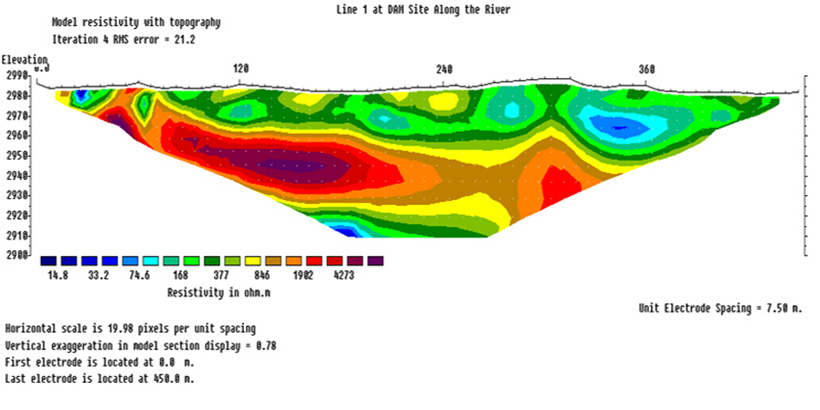
Electrical Resistivity Imaging
2D Resistivity Imaging uses an array of electrodes (typically 64) connected by multicore cable to provide a linear depth profile, or pseudosection...
Read More
Archaeological Geophysics
Full range of engineering geophysical techniques to map buried archaeology rapidly with minimal surface disturbance.
Read More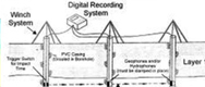
Crosshole/Downhole/Uphole Surveys
The primary purpose of obtaining crosshole data is to obtain the most detailed in situ seismic wave velocity profile for site-specific investigations...
Read More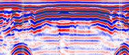
Ground Penetrating Radar
Ground Penetrating Radar, also known as GPR, Georadar, Subsurface Interface Radar, Geoprobing Radar, is a totally non-destructive...
Read More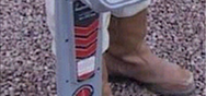
Induction Locator
Radio-detection uses the principles of electromagnetic to detect underground utilities. This principle works on the basis that a current..
Read More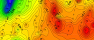
Micro Gravity Surveys
Gravimetry is a potential field technique which measures variations in the Earth's gravitational field. These variations are caused by density contrasts...
Read More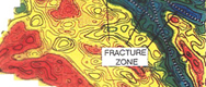
Seismic Tomography
Borehole Seismic Tomography is used to derive an image of seismic velocity between two or more boreholes by measuring travel time between source and receivers...
Read More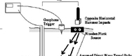
Downhole Seismic
Downhole seismic surveying is an important field method for determining key in-situ subsurface information for earthquake...
Read More
Electromagnetic Surveys
Downhole seismic surveying is an important field method for determining key in-situ subsurface information for earthquake hazard assessment and analysis.
Read More
Gravity and Magnetic Surveys
Gravity Method is a potential field technique which measures variations in the Earth's gravitational field. These variations are caused by density contrasts...
Read More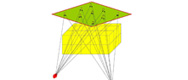
Passive Seismic Tomography
Passive Seismic Tomography is a new revolutionary geophysical exploration technique which uses the natural seismicity (microearthquakes)..
Read More
Induced Polarization (IP) Method
The induced polarization method makes use of capacitive action of subsurface to locate zones where clay and conductive minerals are disseminated ...
Read More
MASW (Multi Channel Analysis of Surface
PARSAN is stretching its wings to provide services for carrying out MASW for engineering projects...
Read More